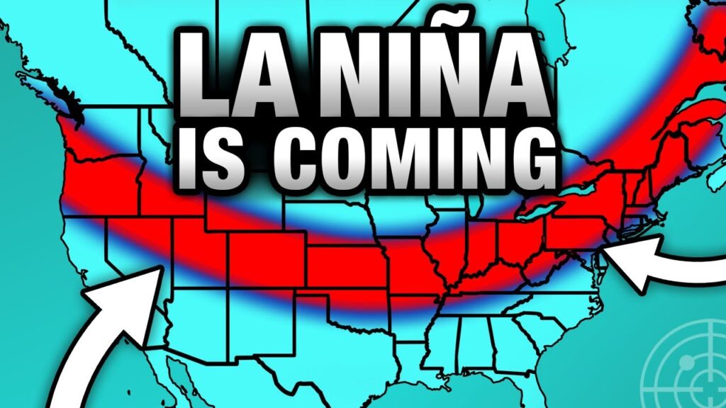
A weak La Niña has officially developed in the Pacific Ocean and is expected to persist through much of the 2025–26 U.S. winter season, according to a report by Northeastern Global News. Meteorologists warn that this ocean–atmosphere pattern could have notable impacts on temperature and precipitation across large parts of North America.
What La Niña Means
La Niña events occur when sea surface temperatures in the central and eastern Pacific fall below average, shifting global weather patterns and influencing the U.S. jet stream. Typically, this brings cooler and wetter conditions to the western and upper midwestern regions, while the Southeast and Gulf states tend to experience warmer and drier weather.
Regional Winter Forecasts
Early projections indicate that the Pacific Northwest and northern Rockies could see above-average snowfall and rainfall, benefiting drought-affected basins. In contrast, southern states including Florida, Georgia, and Texas may face extended dry spells and higher-than-normal winter temperatures.
“This La Niña looks relatively weak, but even a modest shift in Pacific temperatures can produce noticeable climate effects across North America,” said a climatologist at Northeastern University. “It could be a winter defined by regional contrasts — wetter storms in the north, mild and dry in the south.”
Implications for Agriculture, Energy, and Fire Risk
The developing La Niña pattern could affect agriculture, energy demand, and wildfire risk heading into 2026. Cooler, wetter conditions in the northern states may delay spring planting schedules, while dry southern regions could face increased fire danger if rainfall remains scarce.
NOAA and other climate agencies continue to monitor oceanic and atmospheric indicators to refine seasonal forecasts. Experts note that while La Niña generally follows predictable trends, local weather variability and the influence of climate change may lead to unexpected outcomes during the season.

