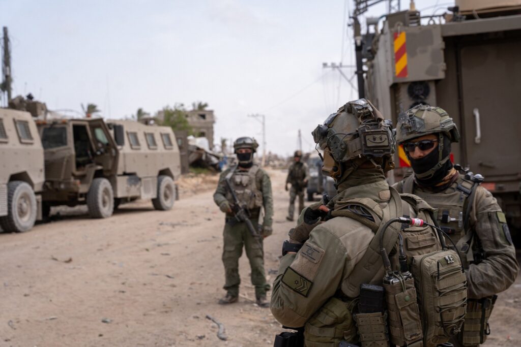
The Israeli military has established a new corridor cutting across the southern Gaza region, effectively dividing the Khan Younis area into two distinct zones. This newly formed passage, known as the Magen Oz Corridor, extends approximately 15 kilometers, stretching from the eastern edge of Khan Younis to its western flank.
The corridor serves as a strategic route aimed at isolating armed factions and disrupting their command and supply networks within the area. According to the military, this initiative is intended to exert greater pressure on organized resistance elements still operating in the war-torn remnants of Khan Younis. The corridor’s positioning strategically slices through territory that has seen prolonged and intense conflict over recent months.
By establishing the Magen Oz Corridor, military forces intend to increase mobility for ground operations while simultaneously limiting the freedom of movement for adversarial groups entrenched in the area. Officials say the corridor could help fragment opposition battalions and curtail their ability to regroup, resupply, or maneuver within southern Gaza.
An accompanying military map of the region shows that the newly established route connects with a previously constructed military corridor—the Morag Corridor. That earlier corridor was opened in April and runs north-south, separating Khan Younis from Rafah, the southernmost city in Gaza bordering Egypt. Together, the two corridors appear to form a crisscross network of control that further isolates key regions and enclaves in the south of the Gaza Strip.
The tactical development comes amid ongoing military operations in southern Gaza, where forces have been targeting what remains of militant infrastructure, particularly in densely built-up zones. The corridors are designed not only to facilitate military maneuvers but also to serve as lines of control and containment, cutting off escape routes and preventing reinforcement by external or internal means.
The impact of this move is likely to be significant, both strategically and humanitarian-wise. On the one hand, it signals continued military intent to neutralize remaining opposition strongholds in the south. On the other, it raises concerns over how the movement of civilians, aid delivery, and humanitarian operations will be affected, especially given the heavy concentration of displaced populations in the region.
The development also suggests a longer-term effort to establish controlled buffer zones and logistical highways in the territory—signaling a shift from temporary battlefield adjustments to more entrenched territorial modifications. Observers note that the creation of such corridors could have lasting implications for the map of southern Gaza, particularly in how communities and urban areas are accessed or partitioned.
As the conflict drags on, infrastructure like the Magen Oz and Morag corridors may play a central role in shaping both the military outcomes and the humanitarian landscape in southern Gaza. Their existence underscores the evolving nature of the fighting on the ground, and the complex dynamics at play in one of the most contested areas of the ongoing war.

